Dzata Venda Ruins and Museum of the Drum, Louis Trichardt
The Dzata Ruins (or Dzana ruins) are an archaeological site in Dzanani in the Makhado municipality, Vhembe district, in the north of South Africa. Scholars who have made a study of the various legends and traditions associated with the ruins, find it clear that they are many contradictions. Archaeological evidence has shed some lights on these events, but a great deal of work still remains to be done. It is certain that Dzata was built at an earlier date than many people are willing to admit.
Nzhelele Nature Reserve
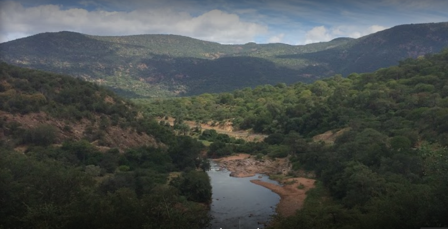
The superior administrative division is Vhembe District Municipality, Limpopo, South Africa. The estimate terrain elevation above seal level is 813 metres. It is situated approximately 140
km to the north-east of Polokwane, 60 km to the north-east of Makhado, 120 km to the south of Musina and 138 km to the south of the Beitbridge border to Zimbabwe. There are three formal villages situated near the Nzhelele Nature Reserve, namely the Makushu village 1.6 km to the west, Mufongodi village 3.3 km to the east and Musekwa village 2 km to the south-east of the reserve.
Lake Fundudzi, Thohoyanda
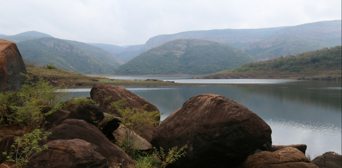
“Lake Fundudzi was created by a massive landslide about 20,000 years ago, blocking the flow of the Mutale river and slowly but surely creating this expansive lake” says Nelson Maphaha, our guide and camp host at Fundudzi Culture Camp. “The scar in the landscape is still clearly visible, once the mist clears”.
We stop well above the lake, where Nelson, starts the sacred narrative by explaining how to honour the ancestors. We turn our backs to the lake and awkwardly look through our legs, while Nelson greets the custodians of the lake in Tshiven?a.
Vhembe District Municipality

Vhembe District Municipality is a second-order administrative division and is located in Limpopo, South Africa, with a population of 1240035 habitants. The estimate terrain elevation above seal level is 1206 metres. Vhembe is situated in the Northern part of Limpopo Province, sharing borders with Zimbabwe in the north, Mozambique through Kruger National Park in the east and Botswana in the north west.
Vhembe District Municipality with its head quarters in Thohoyandou was established in 2000 through the process of transformation of Local Government.
Makuya Nature Reserve
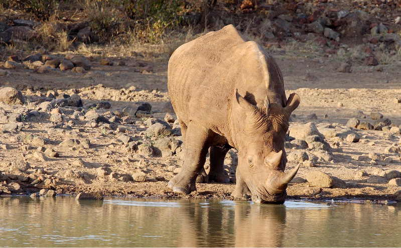
Makuya, also known as Makuya Nature Reserve, shares a fenceless border with the Kruger National Park and is about an hour's drive from the Pafuri Gate. Makuya Park lies in the north-eastern corner of Limpopo, formerly known as Venda (a homeland under the Apartheid Regime not far from the border with Zimbabwe, now incorporated into Limpopo).
A relatively small reserve its 16 000 hectares are leased from the Makuya, Mutele, and Mphaphuli tribes by the Limpopo province. The tented camp in the reserve rests on a mountain top overlooking the river.
Masorini
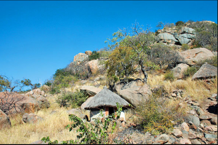
In the shock waves following the rise of the Zulu kingdom early in the 19th Century, Masorini ended as a settlement.
This site is situated some 11km from the Phalaborwa Gate, on the road to Letaba. As the letters PI-NE appear on the trigonometric beacon, it was incorrectly believed to be another name for Masorini (Piene).
The ancestors of the Ba Phalaborwa stayed here. They made a living from the melting of iron. The smelters lived on the lower terrace at Masorini and the forgers in the higher terrace, because they had a higher standing in society.
Mapungubwe Interpretation Centre
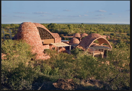
Set in a spectacular but remote veld landscape, Peter Rich Architects’ Mapungubwe Interpretation Centre exemplifies contemporary African architecture. Visible from its entrance gate, the Mapungubwe Centre is approached through a valley from where the outcrop of new buildings merges naturally into the veld!
As you enter the Mapungubwe National Park and World Heritage Site, one of the things that first captures the eye is the architecture of the Museum and Interpretive Centre.
Greater Mapungubwe Heritage Site And Tour.
"As we celebrate the launch of the Greater Mapungubwe Heritage Route, we urge citizens of Limpopo Province and beyond to explore the cultural landscape and heritage hubs of MapungubweWorld Heritage Site as that will help grow tourism along the route." These are the words of acting CEO of Limpopo Tourism Agency, Mr.
Loeriesfontein, Northern Cape
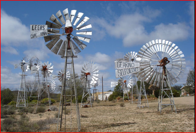
Loeriesfontein is situated in the Northern Cape. This little Town is situated in the Hantam Municipality, 120 kilometres from Brandvlei. Other nearby towns include Nieuwoudtville and Calvinia.
It has an open Area, which is perfect for Wind Turbines! Wind energy is one of the cleanest and safest methods of generating electricity. 61 Turbines have been installed already by May 2019 and connected to the grid. They have a height of 152m and construction was completed in December 2017.
Ezakheni, Ladysmith
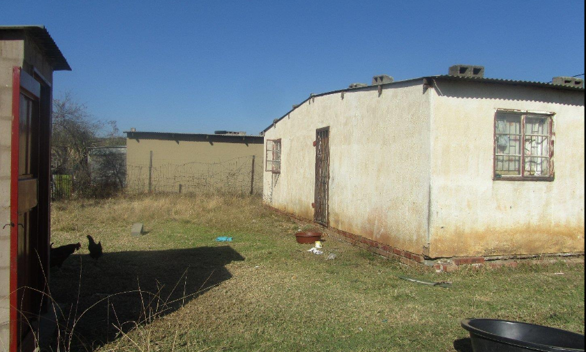
Ezakheni is an African township that was built in the old KwaZulu homeland about 25km from the town of Ladysmith. The area was established in 1972 and its population at the time was in the region of 50 000. The township was built in two parts, a formal section with rented housing and a site and service section where people could build their own houses. The area was built on Trust Land acquired by the South African Development Trust (SADT) in the early 1960s, after some resistance from the local Farmers Association to the acquisition of more land in the district by the SADT.