Umhlanga, Durban
The history of Umhlanga Rocks is really interesting. Umhlanga Rocks was initially home to San hunter-gatherers and was later occupied by Nguni-speaking people who were united under King Shaka in the early 1800's into the proud Zulu nation. The Umhlanga Area came under British control soon after, becoming part of the large Estate belonging to the great sugar magnate, Sir Marshall Campbell. uMhlanga derives its name from the Zulu language and means "place of reeds", referring to the beds of reeds growing along the Ohlanga River North of uMhlanga Rocks.
The Oyster Box, a luxury Hotel since the 1950's was built as a Beach Cottage in 1869, before the Town had even been founded. The Oyster Lodge, was built overlooking the Sea and tea and scones were served to passers-by in the true spirit of Umhlanga hospitality. This Beach Cottage had a reflective roof which was also used as a beacon by passing ships for captains to navigate safely around the very dangerous, Rocky Headland! Then only in 1954, Umhlanga's red and white Lighthouse was built to warn ships away from the dangers of the rocks. The first Hotel, The Umhlanga Rocks Hotel, was built in the 1920’s and The' Oysterbox' Hotel was built on the site next to the lighthouse' earlier in 1947. Umhlanga Rocks bloomed and other many other Hotels soon followed. Umhlanga became the most sought after Area for locals to go on holiday as well as to set up residence. Umhlanga and La Lucia together with their suburbs of Umgeni Park, Glenashley, Somerset Park, Sunningdale and Prestondale have a unique ambience.
The new addition of the City Centre on the Ridge with its large Gateway Shopping Centre and Umhlanga Hospital. It's the beautiful Beaches and vibrant atmosphere, draw travellers back to Umhlanga Yearly! The chic Suburb in KwaZulu-Natal (a 20-minute drive from Durban City Centre) boasts an incredible range of exciting shopping locations, a variety of trendy eateries, a charming coastline, beautiful green spaces and fun activities. For the serious golfers there are many beautiful golf courses all within a 15 minute drive of Umhlanga. Umhlanga is also a paradise for the romantically inclined and is a wonderful place to honeymoon. Umhlanga Rocks is just a 30 minute drive on the N2 north from Durban International Airport and situated on the Northern Beaches, just 16 km from the Centre of Durban. The Umhlanga Rocks coastline enjoys a warm subtropical climate. Summer ranges from Nov - Feb and temperatures are hot and humid, from 24 - 33 degrees Celsius, and Winter which ranges from June – August is between 12 and 22 degrees Celsius. Umhlanga's Sea temperatures vary from 25 degrees in Summer to 18 degrees in Winter, which allows for all year round swimming. The average rainfall for the year is in the order of 900mm which occurs mainly during Spring and early Summer.
https://www.timeslive.co.za/news/south-africa/2023-02-21-man-drowns-at-umhlanga-beach/
https://www.sa-venues.com/things-to-do/kwazulunatal/bysuburb/umhlanga-rocks/
https://oysterboxhotel.com/?gclid=EAIaIQobChMIwIG5-eit_QIVTe3tCh3A4QfWEAAYAiAAEgInNPD_BwE
https://umhlangarockstourism.co.za/2020/08/31/umhlanga-whale-bone-pier/
https://www.getaway.co.za/things-to-do/6-instagrammable-lighthouses-in-south-africa/
Former Bafana Bafana Legend John Moeti dies

Home Page Test
Featured topics
This day in history
Find out who was born, who died and other significant events from this day in history
History in Images
The exilic geographies of the South by Benjamin N. Lawrance and Vusumuzi R. Kumalo
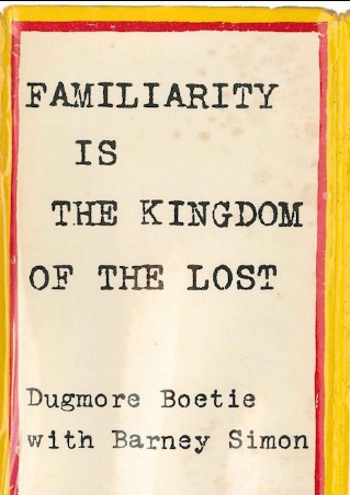
In August 1960, Dugmore Boetie fled South Africa and entered Bechuanaland (present day Botswana) on foot. He was part of a flow of “discontented young men” that included the otherwise unfamiliar Johannes Moeng, Jacob Lesabeer, Spencer Tlhole, and Victor Vuysine Vinjike, observed by colonial intelligence agents.
The Seriti Commission
Background
Mokopane also known as Potgieterus
Atlantis
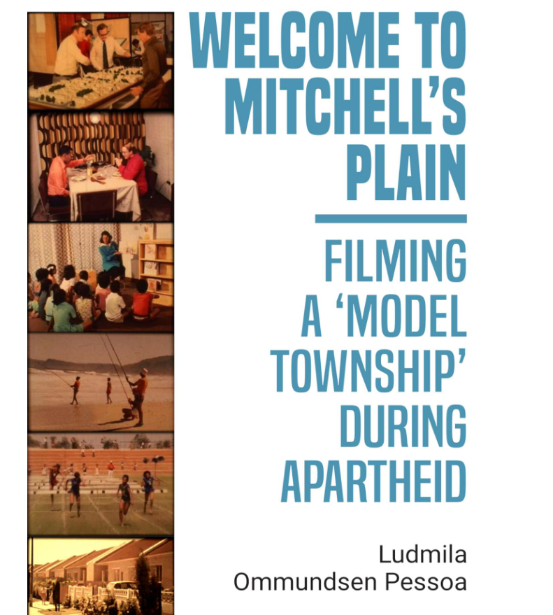
Atlantis was created in the early 1970's as a “model industrial node”, within the framework of Apartheid spatial Development Policies. These policies were designed to physically separate and divide South Africans along racial lines. Atlantis was developed for people designated as ‘coloured’ under Apartheid law and was situated 45 km North of the Cape Town – far from the City centre, where most of the jobs were in those days.
Before 1973, this Area was characterised by sand dunes and not much else! In order to attract people to this new Town, people were promised housing and jobs. People designated as ‘coloured’ who had been displaced from various Areas of Cape Town during Forced Removals, or who wanted to escape overcrowded conditions in Areas they were living, came to Atlantis in the hope for a better life. A quote from C. Samuels, published in 'Grassroots, October 1980': “Ek het nou ‘n huis gekry in Atlantis en dit is baie ver. Ek wil nie soontoe trek nie want dit is ver van my mense en werk. Wat kan ek maak. Ek moet gaan vir ‘n dak, dis al hoop vir my. Ek wil weet hoekom hul ‘n township so ver van die Kaap gebou het.” Population of Atlantis grew to 30 000 in the 80's and to just over 67 000 in 2011. A major issue for people moving to Atlantis, was its complete isolation from the rest of Cape Town. Atlantis’s success as an industrial node to provide jobs to attract ‘coloured’ people to the Town, depended on huge Government support. The Government invested approximately R1,5 billion in the project. To attract businesses, it offered incentives such as:'low-cost loans for Land purchases and Buildings; a reduction in company taxes; grants for relocation costs, railway discounts and housing for staff'. More than 100 Companies made use of the incentives to relocate to Atlantis. Particularly common were Light Industrial and Manufacturing industries who could easily relocate without substantial investment. The biggest employer, Atlantis Diesel Engine (ADE), was established in 1979 and employed more than 2 300 people. (link is obtainable in Further Reading)
Mokopane- also known as Potgietersrus
Mokopane is also known as Potgietersrus. This is a Town in the Limpopo Province, of South Africa. The Town was established in 1852 by the Voortrekkers who named it: 'Potgietersrus', after their leader Piet Potgieter. In 2003 the name was changed to Mokopane in honour of the local chief Makapan. Who was the Chief during the the Matabele Wars 1836-1896. Mokopane is the Northern Sotho form of the king’s name, even though the majority language in the Area is Northern Sotho. Five kingdoms in the vicinity of the Town are Kekana (Moshate), Langa (Mapela), Lebelo (Garasvlei) and Langa (Bakenburg). It is sometimes still referred to as: 'Potgietersrus' or “Potties”. Two hours from Gauteng by road, the Town acts as a getaway destination and as a stop-over for travelers en route to Botswana, Zimbabwe and Kruger National Park.
The Area is typically Bushveld, with many Vachellia and Senegalia trees (part of the acacia genus). As well as aloes, which blooms in June and July. The Zebediela Citrus Estate, 55 km to the Southeast, is one of the largest Citrus Farms, in the Southern Hemisphere. This Farm was returned to the Bjatladi Community under the Land Reform Process, in 2004. There is a wide variety of accommodation options available in Mokopane from guest houses, bed and breakfasts to self-catering units.

