Although it was a small camp, Heilbron was unusual in several respects. This area in the northern Free State might appear flat and uninteresting but, the Heilbron district commissioner complained that nearby Viljoen’s Drift was ‘Just a lot of tin houses on both sides of the Railway the whole in the midst of a sandy desert’ - but it was the heart of the maize growing area. Coal mining took place at nearby Viljoen’s Drift and the Vereeniging Estates included relatively prosperous black tenant farmers. In July 1900 the newly-appointed assistant district Commissioner reported that there were about five hundred Africans employed on the mines as well. They were ‘unruly’, he complained. Uneasiness about the black population continued with reports of ‘impertinence’ towards unprotected women; some farm laborers were unwilling to work, it was said.
The Heilbron district felt the uncomfortable weight of the British presence shortly after the army took the town on 7 June 1900. As in Winburg, empty houses were looted by the soldiers and food was restricted for families whose men were on commando. As Boer activity increased, the country districts had to be evacuated, while nearby Frankfort was burnt by the British, necessitating the removal of these families as well. The refugees were housed in empty dwellings in Heilbron and were sometimes uncomfortably overcrowded. Mrs Henry Vorster of Frankfort noted that she had to share a house with seven other families while Mrs Theron had two rooms for herself and her eight children, in a house already occupied by five other families. Mrs Ellie de Kock described the plight of these early refugees. ‘In December 1900 they brought the first batch of poor women and children into our village. . . . There they stood like lost sheep at the mercy of our enemies, with only a small bundle of bedding or clothes – no food, no pots or pans, some not even a mug to drink out of.’ Many of the houses where they were placed had been damaged by the soldiers, lacking doors and windows. Food was expensive and the only fountain was unable to provide enough water for the growing numbers. Only after the town became impossibly overcrowded were tents erected.
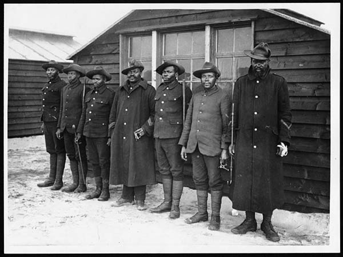
Blacks were also brought into Heilbron. Initially they were housed in the town location and the Superintendent of the Heilbron camp reported at the beginning of March 1901 that there were over 300 there. He recommended the establishment of a black camp. About forty of the men were employed in the military camp. By April the number in the camp had risen to 1,264. ‘I have caused them to build sod and stone huts. Not surprisingly, the health of the inmates declined and the local district surgeon refused to attend them at the pay he was offered.
The black camp, Fairview, became an increasing source of friction between the Officer Commanding and the Superintendent as Commandos harassed the town, because the Boers were coming so close to the black camp and removing any horses, the camp staff, including the medical officer, refused to go out to the camp. The camp site was a beautiful one, he declared, fully protected by British guns. The ‘natives’ got all they wanted and were perfectly safe. ‘The civil medical officer does not like the trouble of going out there and neglected this duty so much that I had to order him to go out daily and render a report to me. I think he should be changed’, he stated. The head office response was to replace all the senior staff and to establish a dispensary in the camp. By July the number of black camp inmates had risen to 3,000 and, since they were not allowed to wander far from the camp, fuel was inadequate. The Heilbron superintendent requisitioned for coal for them instead. There were other indications that the plight of the black camp inmates was serious. ‘Most native refugees have had to buy or build their own shelters. They are not allowed to come into town for necessaries and have to buy from specially licensed dealers at a considerable advance on town prices, and they have received no clothing however impoverished and destitute, except in a few cases, through private charity. Their treatment is a great contrast to the generous way in which Boer needs or professions of needs, are met. I cannot believe until officially informed that this is the intention of the administration. It outrages British ideas of humanity and justice, and were all the facts known, would arouse strong indignation.’
The camp officials denied that the position of the inmates was so parlous, arguing that most earned wages and could well afford to buy clothes. Since prices were controlled under martial law, the hawker was not allowed to overcharge. Blankets were issued to the most needy. Matterson stuck to his guns, insisting that help was needed, but he probably got little more from the camp authorities. The black camp disappears from the records after this, when it was incorporated into the new native refugee camp administration.
The Ladies Committee visited Heilbron camp on 22 October 1901. At that stage there were still 1,655 people living in houses in the town, while 1,524 were in tents. While the camp itself was clean and well run, although short of water, town families lived in accommodation ranging from a church vestry, a hotel and a store. (All were overcrowded and lacked privacy.) The administration was fairly good and, in one respect the camp inmates were better off than other civilians for they received some meat while the rest had had none for two months.
The severe overcrowding and the shortage of water had the inevitable result, especially in a town inhabited by soldiers from lethal Bloemfontein and Kroonstad, for they may well have brought typhoid fever with them. As early as February 1901 an epidemic of the disease broke out; by the 21st there were fifty-one cases, although no-one had yet died. The epidemic dragged on for weeks although, fortunately, mortality was low, perhaps because so many were still living in houses. Indeed, the town and camp were fairly healthy until families arrived from Kroonstad in August 1901, bringing measles with them. Even then, the disease was eliminated quite quickly from the tents where people could be isolated, but it was much harder to eradicate from the town where it took a bitter toll.
The measles epidemic was the primary cause of death in Heilbron and, as both graphs below indicate, it lasted for several months, into 1902. The constant movement of people probably explains why the medical authorities found it so difficult to put an end to the epidemic. Heilbron was unusual also in that, for the most part, the doctors were drawn from the local medical profession. Dr Tregaskis, a town practitioner, was present throughout the life of the camp. The local district surgeon also attended town inmates but he was often uncooperative. Later on Dr Spong from Britain joined the team. Tregaskis complained regularly about his conditions of work. Civil surgeons employed in the military camps, he pointed out, were much better fed. Not only did they receive larger quantities, but they also got jam, potatoes, rum, coal, candles, forage and pepper. The pay was ‘ridiculous’ and the work during the typhoid epidemic demanding. ‘Under any circumstances I should feel badly used at being supposed to live on this exceedingly small scale of rations but under the present state of affairs it is impossible. As you know, the local storekeepers have nothing to sell & one cannot live without light & fuel at least’, he complained. He was given nothing but additional forage for his horse, however. Tregaskis was even more indignant when he heard that some camp doctors were receiving £500 a year. But this was for resident medical officers and Tregaskis was reluctant to give up his private practice entirely. Dr Clayton, the district surgeon, was even more unwilling to make any financial sacrifices. The solution, the superintendent suggested, was to move all the inmates living in houses into the tented camp. But there were insufficient tents to do this, thus ending the camp!
Today though, Heilbron is a pretty agricultural town in the Northern Free State province of South Africa, about 30kms south of the Vaal Dam, with some beautiful old architecture and sculpture monuments. Heilbron means ‘fountain of blessings’, and the town is named after the fountain which is the source of the Renoster River, and which gave rise to the settlement. Boer Settlers and local tribes fought bitterly over the area in the mid 1800’s before the Boer’s finally beat back the Ndebele and Zulu warriors and officially established Heilbron in 1890. Today it is a quiet town, surrounded by maize, wheat and sunflower fields, working and holiday farms, and game lodges, many situated on two conservancies established to preserve and restore the natural environment and heritage of the area, and which also constitute a major part of the tourism profile of Heilbron and the surrounding area.
The Ghoya Africa Conservancy and the Francolin Creek Conservancy both offer hiking trails, 4×4, mt. bike riding, horse riding, birding, fishing, game drives, accommodation and proxy wine cellars that sell Western Cape Wines and are part of the ‘Riemland Wine Route’.
Heilbron is an historic town with a pivotal place in Boer Settler and Boer War history, and there are several notable historical sites in and around Heilbron, including the Mother and Child Memorial to the 787 Boer women and children who died in the British concentration camp at Heilbron during the Anglo-Boer War. A large cemetery is a stark reminder of the tragedy and suffering of the time. The Vegkop Battlefields Monument and Museum commemorates a particularly bloody battle between Boer Settlers and the Matabele tribe in 1836. Though one of many, the Boers suffered severe losses in the Vegkop battle.


