Biography of Lungile Tabalaza by Aasish Nandagopal
Biography of Alfred Makaleng by Lucas Martin
Phuthaditjhaba, Free State
Biography of Samuel Malinga by Christopher Washington
The Death of Tshifhiwa Muofhe by Margaret Philpott
This article was written by Margaret Philpott and forms part of the SAHO and Southern Methodist University partnership project
Saint Helena Bay
St Helena Bay – stretching from Dwarskersbos in the North past Shelley Point Peninsula, to Cape St Martin in the West. It actually comprises a total of 18 small Bays with intriguing names such as: 'Hannasbaai and Vioolbaai'. It also incorporates the neighboring Towns of Stompneusbaai and Britannia Bay. Preferred by yachtsmen and canoeists, each Bay has its own attractions, stunning sea views and sparkling surf. The Bay is an all-year-round destination for outdoor and nature lovers and offers an ideal base for exploring the outlying Areas.
The main Harbour is at Sandy Point, with a second Port at Laaiplek. Fed by the nutrient-rich cold Benguela Current along the Coast, the waters here boast abundant fish – including snoek – and crayfish (rock lobster), providing a livelihood to many locals, with fish often sold straight off the boats.
The Area is home to a number of fish-processing factories and much of South Africa’s fish processing is done here. Several navigators tried seeking a sea route from Europe to Asia, in the 15th Century but the Portuguese explorer; Vasco da Gama landed in St Helena Bay in 1497, originally naming it 'Bahia de Santa Elena'.
Imposing granite boulders provide a stunning backdrop to the Town and unspoilt white Beaches hug the long shoreline. It is a favourite destination for walkers, who will often spot various species of Dolphins. Southern Right Whales also visit in Winter and Spring, to calve. Humpback and Killer Whales are frequently seen here to. Saint Helena Bay, is at the Southern most point of the whale's migratory route, from Northern Europe. Saint Helena Bay is also on the Cape Birding migration Route. Keen birders should keep an eye out for roosting Cormorants and the African Black Oystercatcher nesting along the rocky shoreline. Yachtsmen, canoeists, and surfers love the waters here! "This makes the Area a birder’s paradise!" As elsewhere on the West Coast, the veld comes alive with vibrant wildflowers in spring after good Winter rains. Saint Helena Bay is the only Area along the West Coast where the sun rises across the Bay because of it faces, North East. Or you can head to the attractive Beacon, (sometimes erroneously called a Lighthouse) at Stompneus Point which marks the Western entrance to Saint Helena Bay. Fed by the nutrient-rich Benguela Current, Saint Helena Bay is one of the World’s prime fishing Areas. Its waters provide a valuable livelihood to many locals as well as an abundance of food for the Dolphins and Southern Right Whales, which enjoy the calm waters.
https://www.westcoastway.co.za/st-helena-bay/
https://www.sa-venues.com/attractionswc/laaiplek.php
https://www.westcoastway.co.za/west-coast-way-foodie-route/
https://www.airbnb.co.uk/rooms/50603267?source_impression_id=p3_1651824213_Abd3X5HdkwOZnRnFhttps://www.capestmartin.co.za/
https://www.sa-venues.com/attractionswc/stompneusbaai.php
https://www.airbnb.co.uk/rooms/50603267?source_impression_id=p3_1652169617_CyNxWySDsb4s5Zmp
Biography of Phakamile Mabija by Grace Garrott
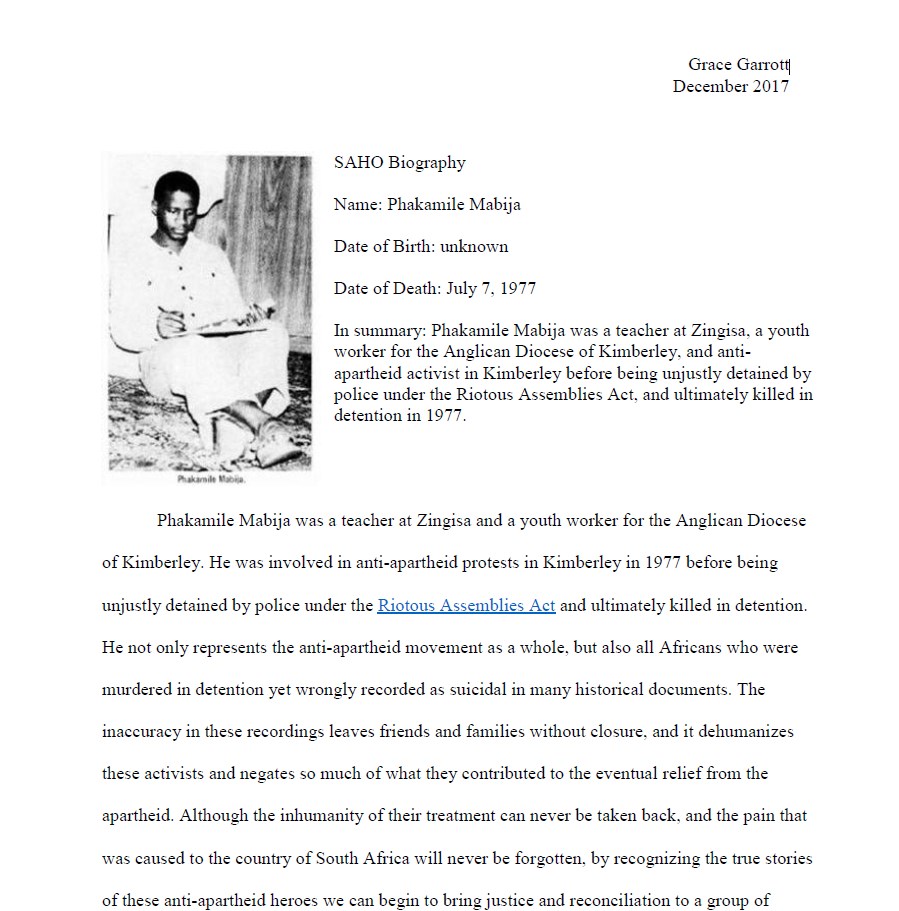
This article was written by Grace Garrott and forms part of the SAHO and Southern Methodist University partnership project
