Dannhauser
The Town of Dannhauser was named after Renier Dannhauser, a German settler, who purchased the Farm: 'Palmietfontein', from the Natal Government, in 1872. The Dannhauser's are an old farming family that lived in that Area. It was proclaimed a Village in 1937. Some of the largest coal-producing Mines surround it. Numerous Rivers flow through this Municipal area, the most important being the Ingagane and uMzinyathi Rivers and there are scenic landscapes in the Western portion of the Municipality. The population of the Municipality is currently at 102 161 people (Census 2011). Population densities are highest in the Traditional Authority Areas in the North-Eastern portion of the Municipal Area and in the Town of Dannhauser itself.
Contemporary Dannhauser covers five farms, namely: 'Tweediedale'; 'Gleneagles'; 'Rocky Branch'; 'Cornwall' and 'Klipkuil'. Durnacol Housing is relatively cheap now, as the coal Mines there are redundant. The Town consists of one main street, and the main shops are the post office, bank, pharmacy and some grocery and hardware stores.
Mogodi Village
Mobeni
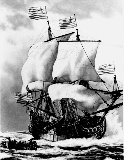
The Johanna

The Johanna, or Joanna, was a British East Indiaman vessel sailing from Kent, England, to Surat, India, under the command of Captain Robert Brown. She embarked on her journey on 27 February 1682, carrying a crew of 110, 36 guns, European-made trading goods and 70 chests of silver ‘pieces of eight’. A ‘piece of eight’ is silver or gold ‘coins’ that were worth eight Spanish ‘Reales’ that could be broken or cut into eight pieces and used to trade for goods and services.
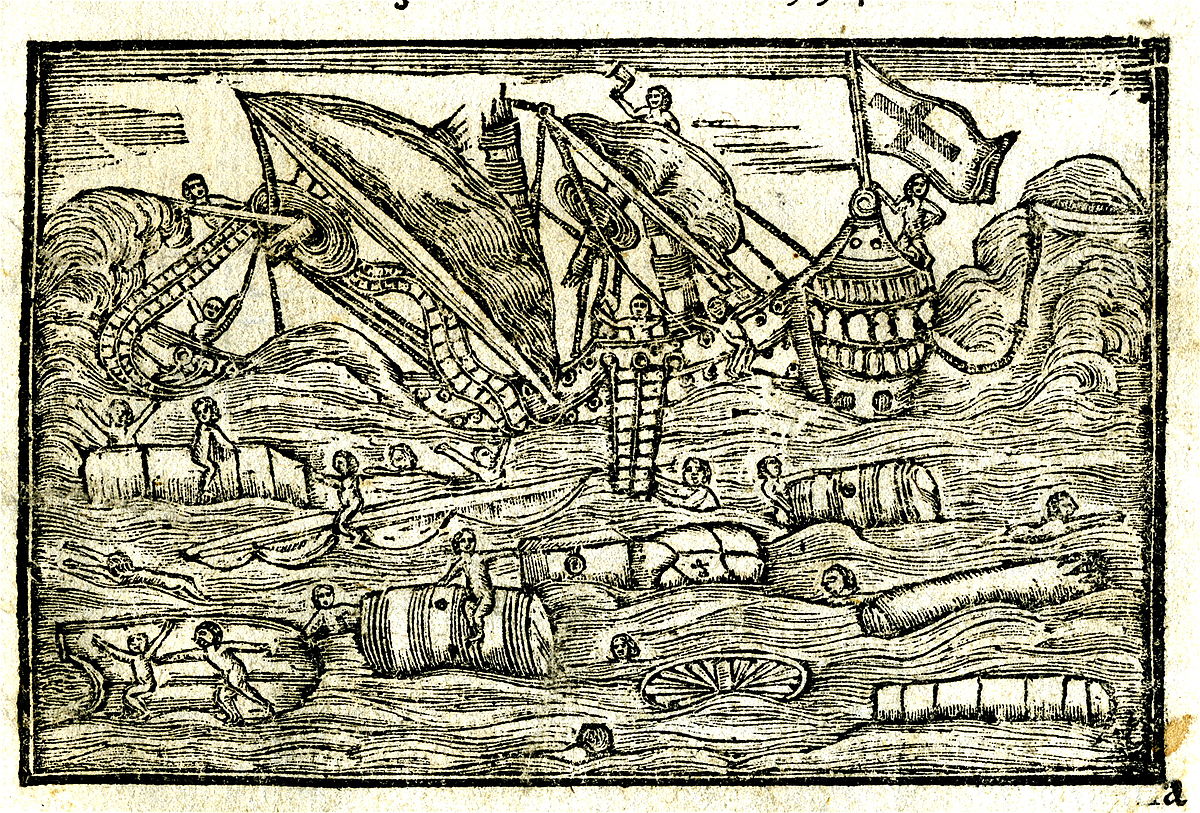
Shipwrecks in South Africa

Historic shipwrecks are time capsules of their time, they are often untouched for decades, sometimes centuries, until they are discovered. Everything onboard gets frozen in time, which archaeologists can study to understand our history. Ships have had an immeasurable impact on how we live today. These vessels are what opened the seas for trade, travel and communication across continental borders.
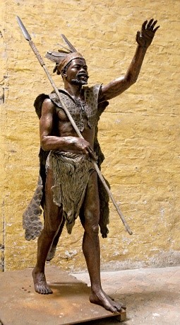
King Faku ka Ngqungqushe
King Faku ka Ngqungqushe was born around 1780 at the Qawukeni Great Palace near a small town called Lusikisiki in the Mpondoland region, which is in the north eastern part of the former Transkei homeland situated in the present-day Eastern Cape, South Africa. From the traditional history of succession, King Faku was not originally born from the great wife who is normally expected to give birth to an heir to the throne of the King according to the customs and tradition of the Mpondo people[1].
